How to Get to Altyn-Emel
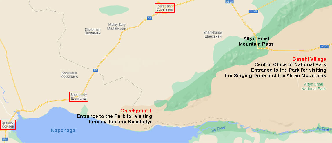
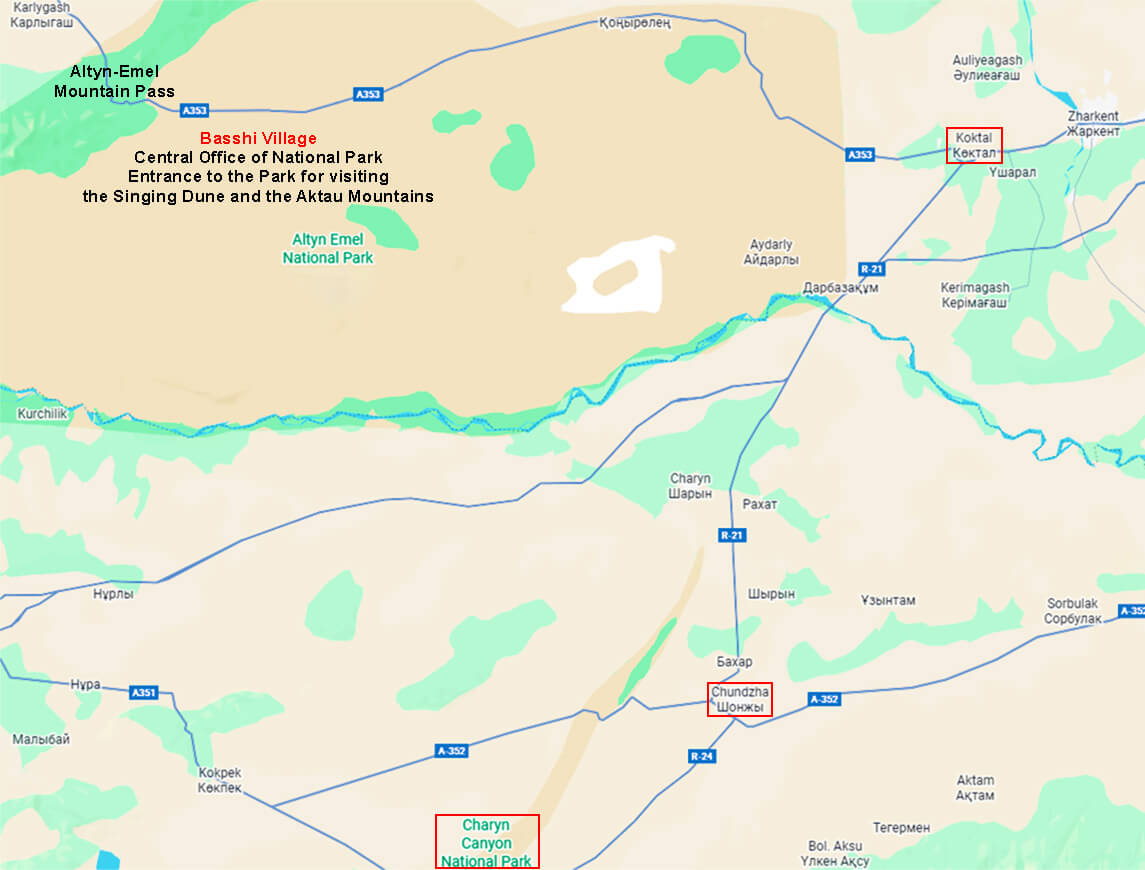
To visit the Altyn-Emel National Park, you need to drive north from Almaty towards the Taldykorgan city along the Almaty - Kapchagai (Konaev, Qonaev) - Saryozek highway (toll road).
Before the Saryozek village there is a roundabout intersection, where you should turn right towards the Zharkent city and go to the Altyn-Emel pass. In 10 km after the descent from the pass, there will be a road on the right with a sign to the village of Basshi and the Altyn-Emel park, then following the signs - more 2 km to the central office of the park.
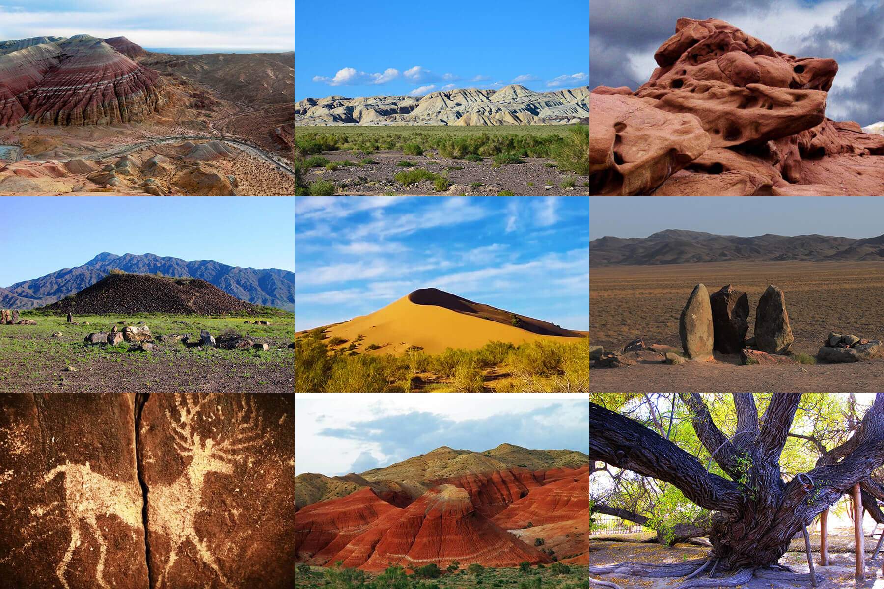
This entrance is used to visit the main attractions of the Altyn-Emel Park, the Singing Dune and the Aktau mountains.
After Kapchagai, you can also turn east towards the village of Shengeldy and further to the village of Kerbulak, then move along the coast of the Kapchagai reservoir to the place where the Sholak mountains, the western end of the Dzhungarian Alatau, begin. There is a second entrance to the national park, via Checkpoint 1 (if you get a pass online).
This entrance is used to visit the Tanbaly Tas petroglyphic complex and Besshatyr, the Saka burial mounds.
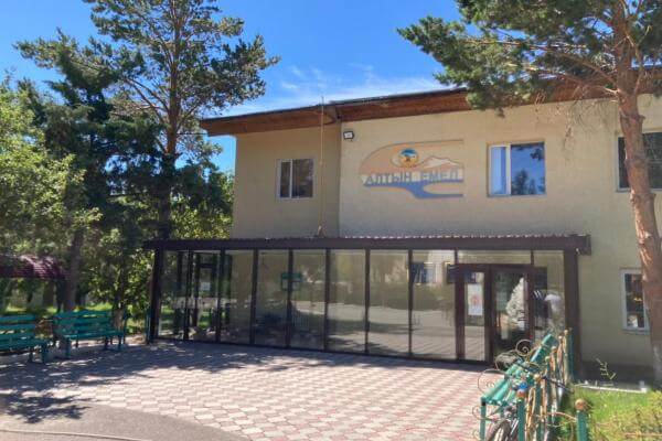
Central Office in Basshi
The main office of the Altyn-Emel National Park is located in the village of Basshi in the Basshi rural district of the Kerbulak region, 250 km from the city of Almaty, 90 km from the Saryozek town, 120 km from the city of Zharkent, 190 km from the city of Taldykorgan, the center of the region.
Address: 73 Askarbek Str., Basshi Village
Phone: +7(72840)45209
Tourism Dpt.: +77056102511 (Skype and WhatsApp)
Altyn-Emel National Park Central Office in the Basshi Village
The Altyn-Emel State National Natural Park is located in the south-east of Kazakhstan, administratively its territory is within the boundaries of Kerbulak (the administrative center is the urban-type settlement of Saryozek) and Panfilov (the administrative center is the Zharkent city) districts of Jetysu region, 180 km from the city of Taldykorgan (the regional center), 250 km from the city of Almaty.
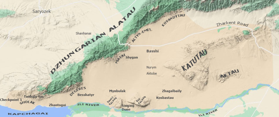
Geographically, the Altyn-Emel National Park is located in the central part of the Ili intermountain basin, from the north its territory is framed by the Altyn-Emel, Matai, Degeres, Sholak mountains. The southern natural boundary of the park is the Ili river and the Kapchagai reservoir.
According to natural physical and geographical zoning, the territory of the park is part of the Ili semi-desert region of the Ili-Balkhash-Alakol desert depression.
Borders
The northern border: the southwestern spurs of the Dzhungarian Alatau mountains.
The western border: the extreme foothills of Sholak (Dzhungarian Alatau).
The eastern border: the floodplain of the Kokterek river, which flows into the Ili river.
The southern border: the part of the Kapchagai coast and the part of the Ili river floodplain.
Altyn-Emel National Park Relief Map
Territory
The Altyn-Emel park includes the northern part of the Kapchagai water reservoir, the Ulken (Big) and Kishi (Small) Kalkan mountains, the Aktau Mountains, the Katutau mountains, the southwestern spurs of Dzhungarian Alatau (Sholak, Degeres, Matai), the southern slope of the Altyn-Emel ridge and part of the Koyandytau ridge, as well as the Konyrolen intermountain valley.
The own territory of the park is 307,653.35 hectares.
The exact area of the protective zone has not been determined yet (approximately 536,500 hectares).
The Pribalkhash State Nature Reserve with an area of 509,400 hectares and the Verkhnekoksu State Nature Reserve with an area of 240,000 hectares were also transferred under the management of the Altyn-Emel National Park.